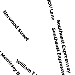
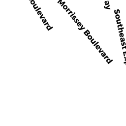
1030 WM T MORRISSEY BL
Owner Information
GNAZZO JANE S
169 COMMONWEALTH AV
BOSTON, MA 02116


Property Details
1030 WM T MORRISSEY BL is classified as a IMPUTED - Commercial (Office (attached)).
The primary structure on this property was built in 1960. There are 33,743ft2 of built area within this property. There is 33,743ft2 of residential/living space within this property.
1030 WM T MORRISSEY BL is valued at $6,065,600. The land is valued at $2,640,100 and the structures are valued at $3,394,500. There is an additional valuation of $31,000 on this property.
The most recent deed for 1030 WM T MORRISSEY BL is recorded at the local registrar in Book 17962, Page 280. 1030 WM T MORRISSEY BL was last sold on Thursday, December 31, 1992 for $500,000.
Assessment data from fiscal year 2020.
Flood Data
According to the FEMA National Flood Hazard Layer, this property does not appear to be in a flood zone. It may also be in an area not yet reviewed. Nonetheless, confirm this information prior to taking any action.
To view the flood hazards around this property, create a FEMA "Firmette" Map of the area around 1030 WM T MORRISSEY BL.
Broadband Internet Providers
| Provider | Type | Bandwidth (mbps) | |
|---|---|---|---|
| Verizon New England Inc. | DSL | 5 | 0 |
| VSAT Systems, LLC. | Satellite | 2 | 1 |
| Verizon New England Inc. | Fiber | 940 | 880 |
| Viasat Inc | Satellite | 100 | 3 |
| GCI Communication Corp. | Satellite | 0 | 0 |
| HughesNet | Satellite | 25 | 3 |
| Comcast | Cable | 1000 | 35 |
| RCN | Cable | 500 | 20 |
Broadband service provider data from December 2020.
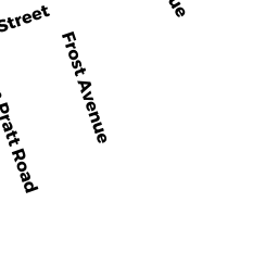
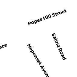
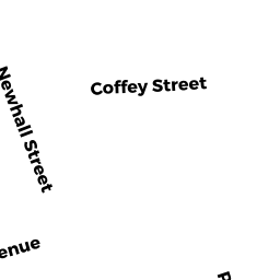
Adjacent Properties
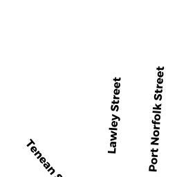
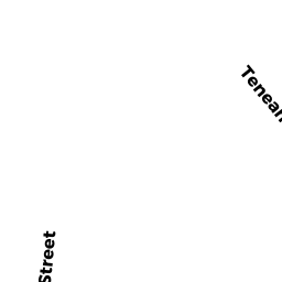
- Tenean ST
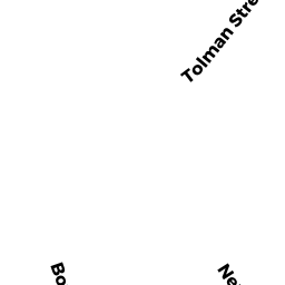
Improved Municipal or Public Safety, Other City or Town owned by MASS BAY TRANSPTN AUTHOR - TOLMAN ST
Improved Municipal or Public Safety, Other City or Town owned by COMMWLTH OF MASS - 3 Norwood ST
IMPUTED - Industrial owned by 3 NORWOOD STREET LLC - WM T MORRISSEY BL
Improved Municipal or Public Safety, Other City or Town owned by COMMWLTH OF MASS - WM T MORRISSEY BL
Improved Municipal or Public Safety, Other City or Town owned by COMMWLTH OF MASS